Santa Elena Canyon, Big Bend National Park, TX, 10/19/2014
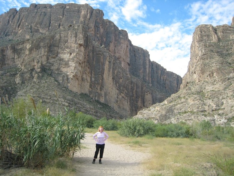
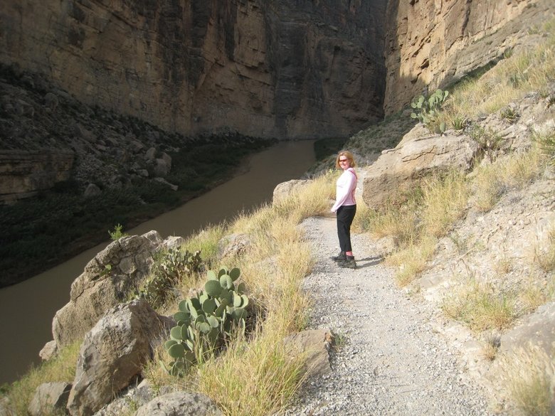
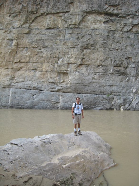
We started our Big Bend NP day at Santa Elena Canyon, where the Rio Grande flows through a gorge with walls as high as 1,500 feet. We got there about 10:30AM with temps only in the upper 70s. View near trailhead:
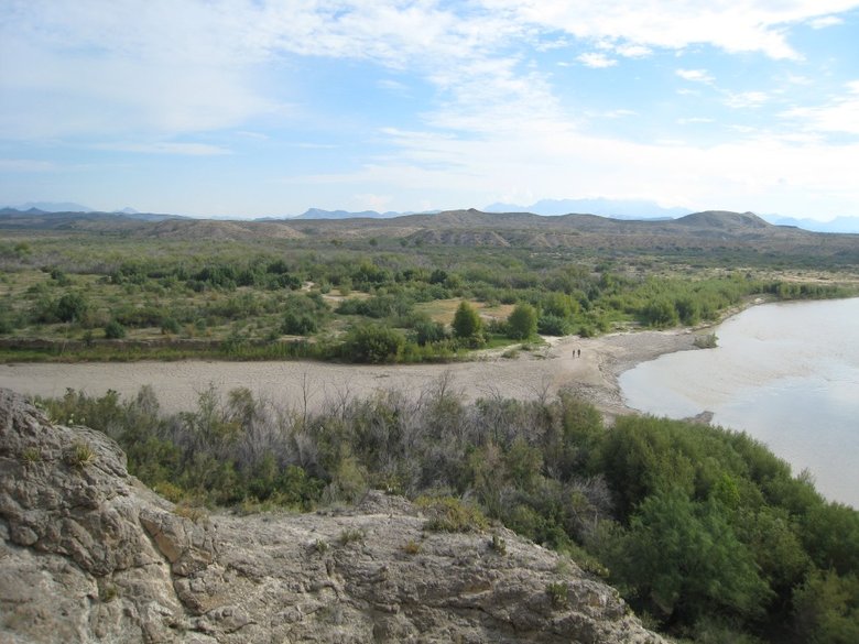
The trail soon crosses Terlingua Creek, which is a mud flat as shown here from above where it flows into the Rio
Grande.
The trail is impassable when Terlingua Creek has a flash flood. But overall it is a plus if you are in Big Bend when
the Rio Grande has high water. In that case, you can do a 21-mile river trip with a class IV rapid through Santa Elena Canyon.
We missed this by a week. Usually it takes 2 days to float that distance.
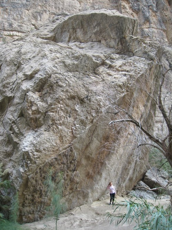
The trail then climbs a few switchbacks cut into the cliff.
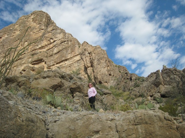
Prickly pear cacti grow out of the Cliffside.
Prickly pear thrive everywhere in Big Bend, from the river here at 2,100 feet to over 7,000 feet in the Chisos Mountains.
Then the trail descends into Santa Elena Canyon.
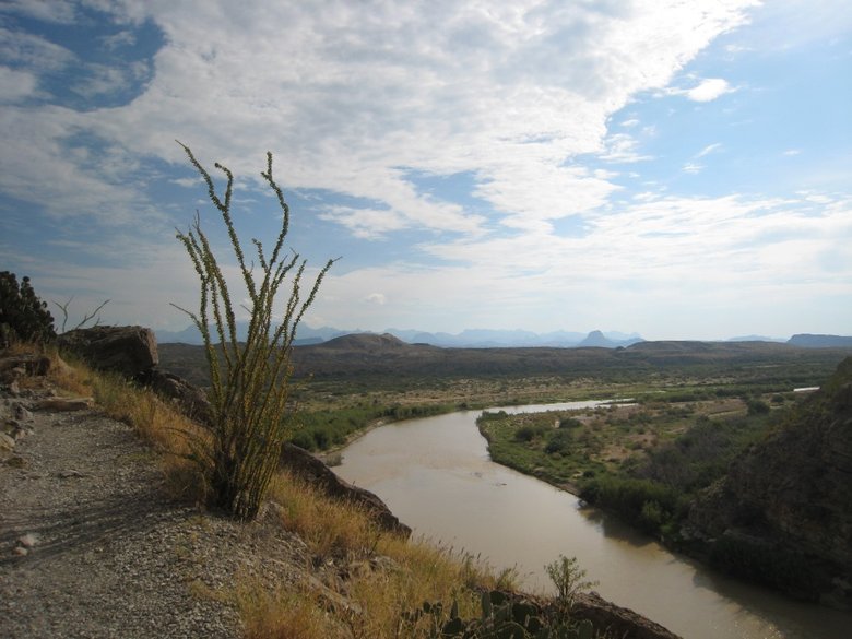
Ocotillo plant next to the trail with view down the Rio Grande below the canyon.
We finally reach the river.
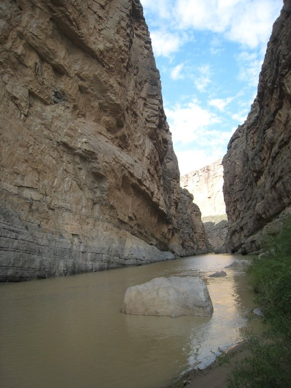
Trail ends here:
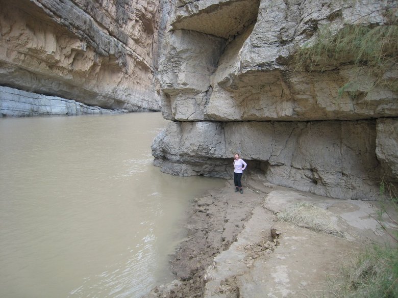
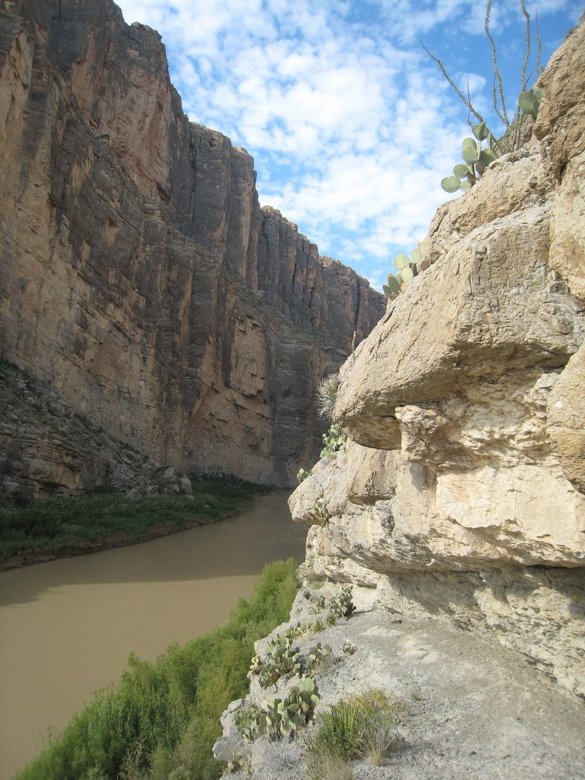
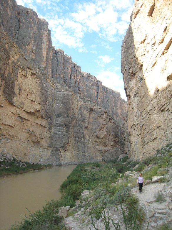
The sheer cliffs on the Mexico side have some overhangs.
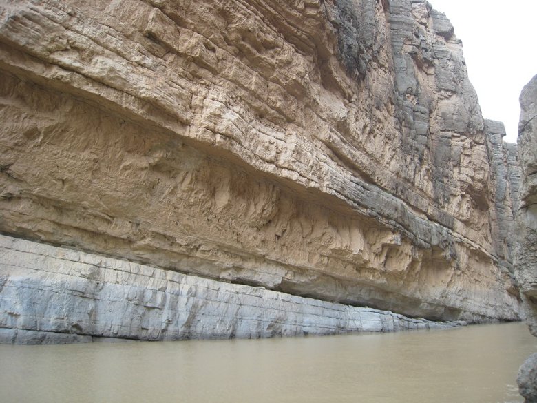
I wonder if any rock climbers have scaled these.
On the way back, the trail skirts this massive rockfall.
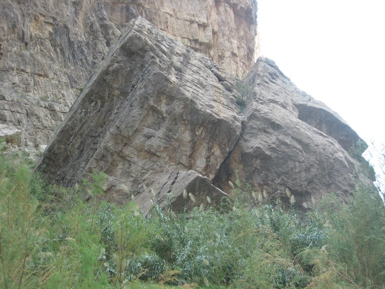
Liz by the rockfall.
The picture barely shows its full height and only about half its depth. We have only seen rockfalls this big before in
Zion.
We were on our way by 11:30 after about an hour here. There were less than 10 cars at the trailhead despite it being
Saturday and a less than 1 mile trail one way into quite dramatic scenery. Big Bend is a long way from anywhere.