For our last day at the Many Glacier Hotel we decided to climb over the Continental Divide at
Swiftcurrent Pass. There is a long flat approach through a valley with several lakes, followed by a steep
switchback ascent of 2000+ feet to the Divide, totaling 6.8 miles. Here’s the end of the valley before
the climb.
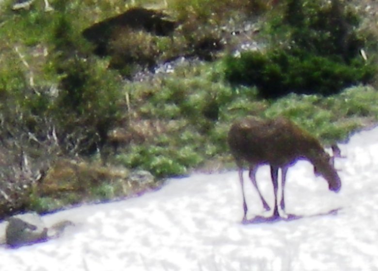
Here we met a small group coming down, but they had only ascended a few hundred feet to spot a moose. We
saw the moose emerge from the woods and eventually rest on a patch of snow.
Fortunately we had binoculars for better viewing.
View to end of the valley and its southern wall.
Water cascades at one of the switchbacks.
A woman on the Iceberg Lake hike warned us of obstacles on the switchbacks but this was the only loose
slide across the trail.
We also had a detour around this stream which was too deep where it crossed the trail.
The same woman said it would be cold and windy, but this was the day the western heat wave got to NW
Montana so we were ideally situated.
View down of Bullhead, Redrock and other lakes in the Swiftcurrent Valley.
Zoom toward Many Glacier Hotel partially visible on the smaller Swiftcurrent Lake right center.
Higher up we get a better view of the Swiftcurrent Glacier.
Most of its glacial features are still buried under this year’s snow.
There’s a 6,000 foot SNOTEL in Glacier NP, which has the same average maximum spring snow water
equivalent snowpack of 45 inches as the Snowbird SNOTEL at 9,600 feet.
Waterfalls below the glacier.
The final approach to the Continental Divide is more gradual, but still mostly snow covered.
The couple behind Liz is the only one that passed us all day. We met 3 other people on the way down and 5
on the other side of the pass, who had come from Granite Park Chalet on its first open day of the season.
This area is likely busier later in the season when Highline trail is open and the Chalet is full with
overnight backpackers.
Continental Divide is marked by these rocks.
Trail junction just to the west.
From here you can ascend another 1,400 feet to 8,400 foot Swiftcurrent Peak, as the 5 people based at
nearby Granite Park Chalet did.
With our much longer approach we opted to hike just a few hundred yards west and have lunch with
panoramic views to the west and here to the south.
Zoom of Logan Pass area
View west to Heaven's Peak with Granite Park Chalet just below us.
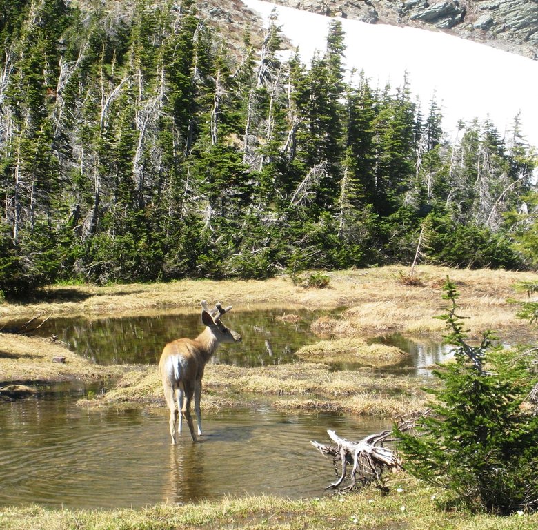
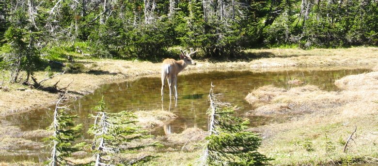
As we headed back we saw this elk close up on the Continental Divide.
Liz was wearing waterproof pants and so slid this section of snow.
Descending one of the switchbacks this marmot posed nicely for us.
Beargrass flowers on lower switchbacks.
Looking back from the lower valley ~7PM.
We then drove out of Many Glacier and were lucky to find this grizzly bear grazing not far from the
road.


