We decided to spend one day in Canada’s Waterton park before entering Glacier National Park’s east
side. On the way in 6/27 we drove out a side road to Red Rock Canyon. In both directions car were stopped
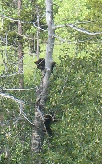
by the side of the road for bear sightings. Distance was OK for our binoculars but a bit far for our
cameras. Here are 2 bear cubs in a tree.
First view of Waterton Lake and Prince of Wales Hotel.
Waterton has 3 famous all day hikes. http://www.experiencewaterton.com/tripl ... terton.htm
Crypt Lake is perhaps the most popular and in any case the road to the Cameron Lake trailheads for the
others had been flooded during the previous week. Upper Waterton Lake runs on a north/south axis with the
small resort town at its north end. The southern end of the lake is in the U.S. Glacier National Park but
the easiest access is by boat from Waterton to Goat Haunt at that end.
The Crypt Lake hike begins with a short boat ride to a trailhead on the eastern shore. From town or the
boat Mt. Cleveland at 10,479 feet is the highest peak on the left side of this picture.
Mt. Cleveland is actually beyond Goat Haunt and has the 4th highest spire measure in the lower 48 states.
http://www.peaklist.org/spire/lists/contig-20.html
.
With boat access we needed to be at the dock in Waterton by 10AM and back at the trailhead by 5:30PM. The
trail is 5.3 miles one-way with a 2,300 foot gain and a couple of interesting hiking features. There were
30-40 hikers on the boat but everyone seemed to spread out rapidly on the trail. In July/August there is
a second boat at 9AM/4PM and perhaps there is more congestion then.
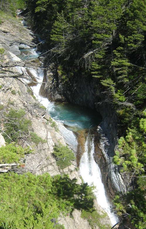
The lower part of the hike is through a fairly lush forest. We crossed a stream with blue rocks.
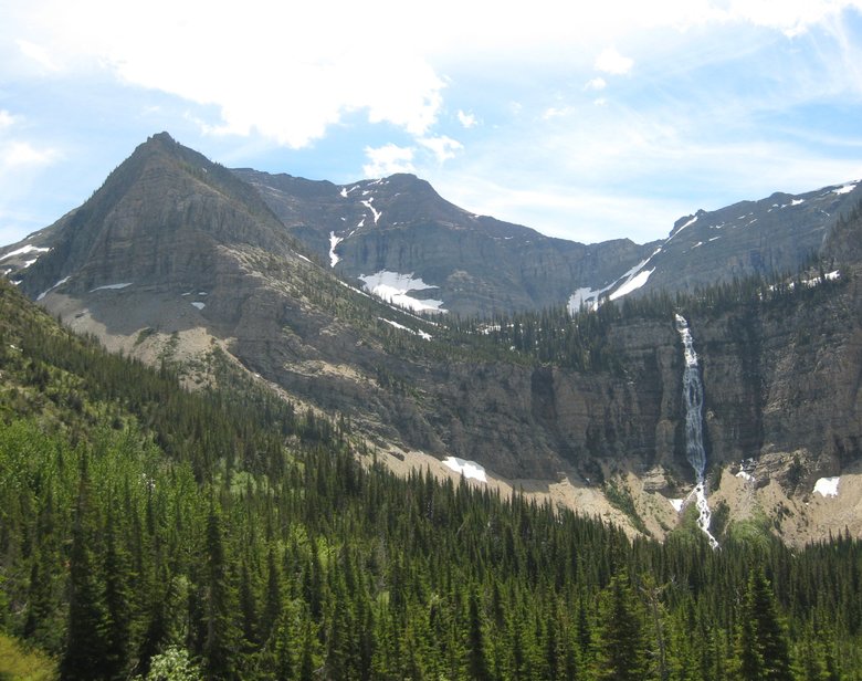
Eventually we emerge above the lower forest to a view of Burnt Rock Falls.
Not much later we get our first view of Crypt Falls and the unnamed lake below it.
Crypt Lake lies above the falls and below the snowpatch in first picture above. This was not obvious to
us at this point of the hike.
Liz crossing a stream.
Note the trail across the scree field above her head.
Now for the “interesting” part of the hike. I’m near the end of the trail across the scree. Behind
me are other hikers on a ladder up to a tunnel through the rocks.
Liz climbing the ladder with trail approach in background.
Tunnel entrance
And exit
The ledge beyond the tunnel is narrow enough that cables have been installed.
Above Crypt Falls the trail became snow covered.
We ran into a couple of other hikers who had hit a dead end. We looked around and saw enough footprints
over the snow and followed them the short distance to Crypt Lake.
Some of the younger people who got up there quicker were “boot skiing” the hill on the east side of
Crypt Lake.
We spent maybe 30-45 minutes at the lake having lunch and watching the boot skiers, but we needed to get
back to catch the ferry. View from the ledge into the Crypt Valley.
Liz on the ledge, profile view of Crypt Falls.
Back into the tunnel.
Crossing a cascade with melting snow patch.
These beargrass flowers were all over Waterton and Glacier parks during our trip.
On the lower trail there is a steep detour trail to Hellroaring Falls.
Finally Waterton Lake is in sight reflecting afternoon sun.
Crypt Lake was an impressive hike, even though you are “on a schedule” with the ferry access. Looking
on a map, Waterton appears small in size vs. Glacier. It’s much quieter, surprisingly few Americans up
there, just as I’m surprised how few Americans ski in interior B.C. in winter. In retrospect we wish we
had spent a second day with a boat tour and easy hike from Goat Haunt. Besides the close up view of Mt.
Cleveland, we were told that moose are abundant down there.


