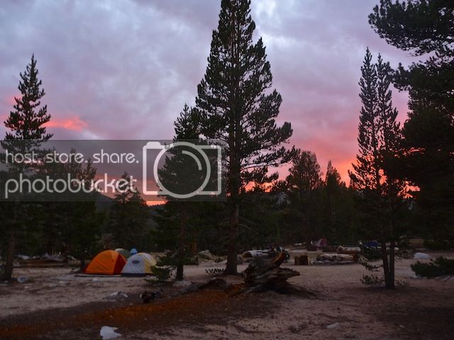
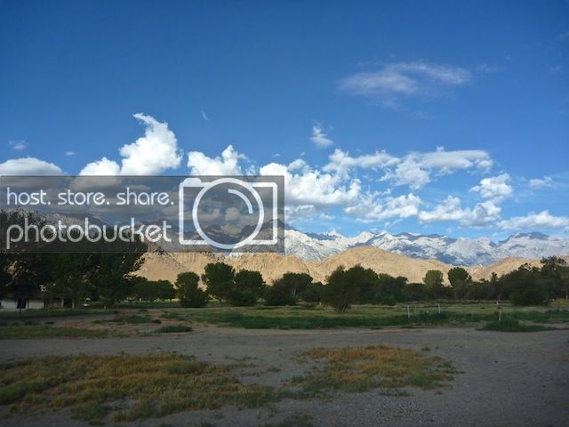
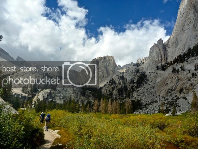
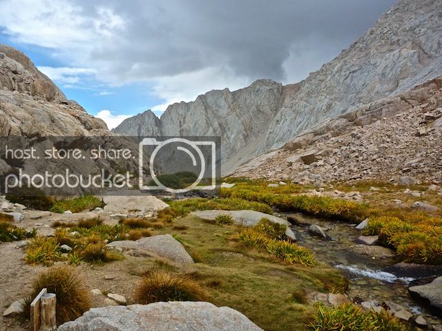
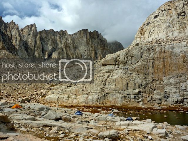
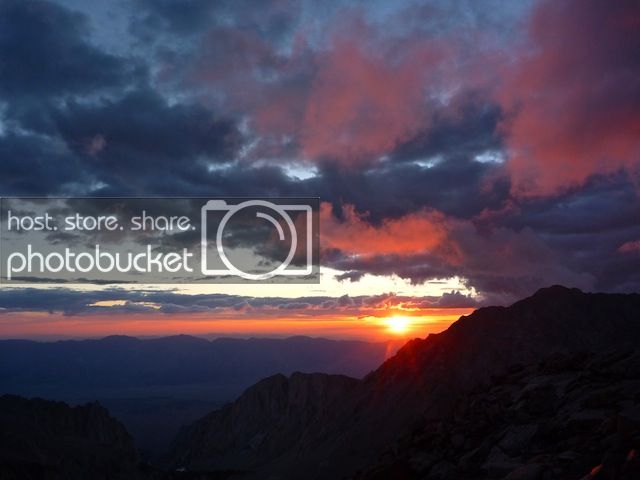
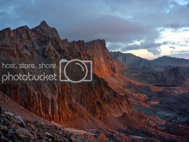
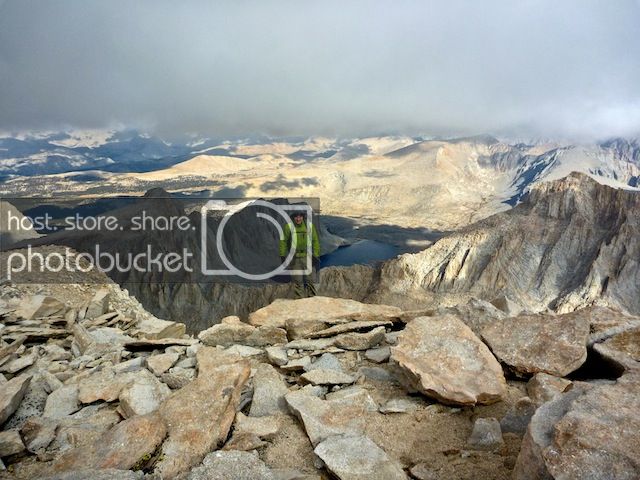
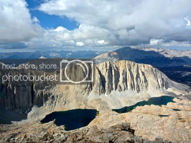
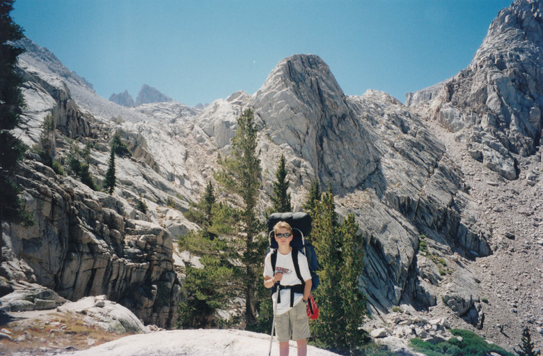
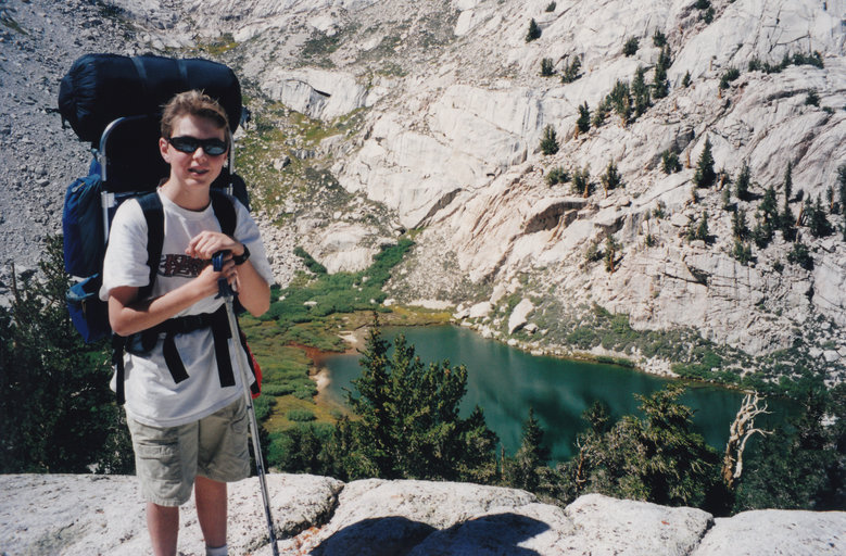
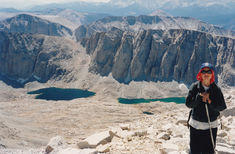
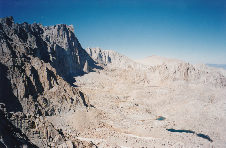
Toughest part was climbing to Trail Camp with full packs here at 11,000+
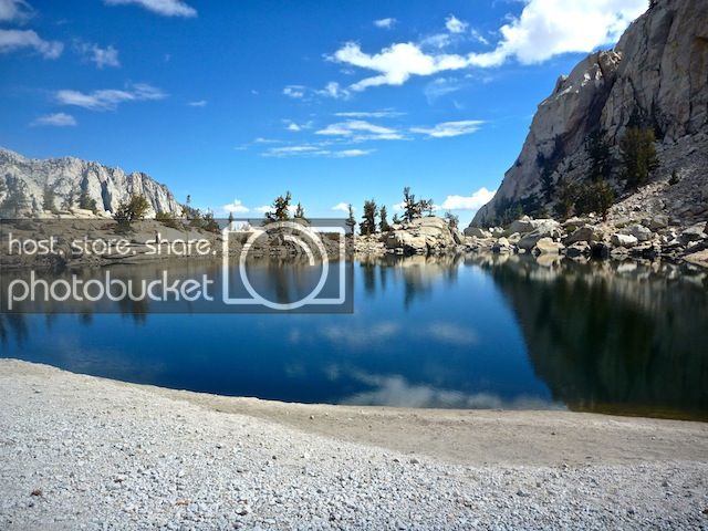
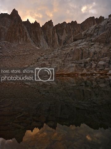
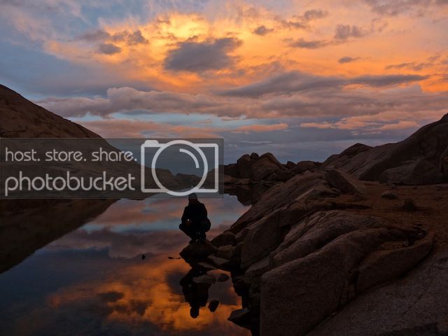
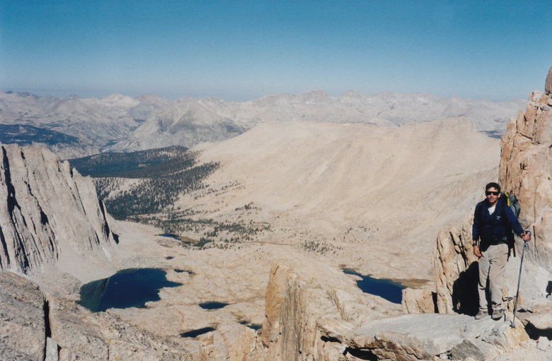
View down to Mirror Lake
We started hiking the next morning from Trail Camp with light daypacks at 7:30AM, made it to Trail Crest
in just under the 3 hours projected by the guidebooks. View west into the Upper Kern River part of
Sequoia NP.
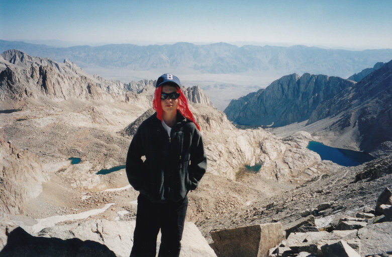
View east down the trail toward Whitney Portal.
Trail Camp is at the small lake to the right of Adam in this pic. The big one is Consultation Lake.
It's 2 miles more to Whitney. Not that much more elevation gain but still slow going at 14,000.
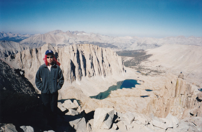
Guitar Lake at right in this view SW from the trail.
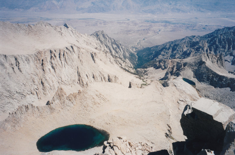
We got to the top about 1PM. Looking off the steep east face to Iceberg lake
View SE toward several false summits that fooled 19th century explorers.
View NE, just a few scraps of snow left after an average snow year.
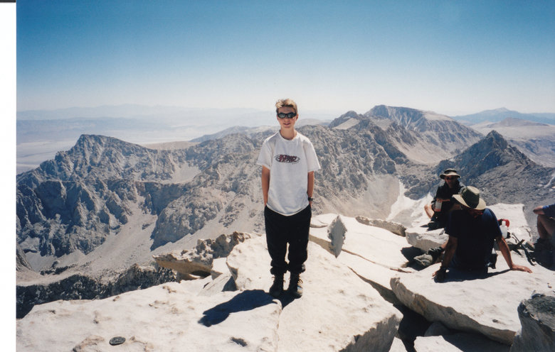
Labor Day is one of the peak times to climb Mt. Whitney, so this guy looked well fed.
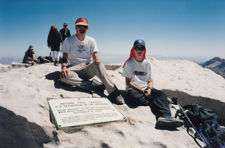
Adam and I at the summit plaque.
In the afternoon sun the Hitchcock Lakes sparkled, but without a polarizer doesn't show so much in
the picture.
Partway down the switchback, a profile view of the summit ridge from Mt. Muir to Mt. Whitney.
Adam raced down the switchbacks and started taking down camp. We started hiking down with the full packs
4:30PM and made it to the Portal about 9PM, also in line with guidebook projections. Richard thought we
wouldn't get off the mountain until midnight and so he and Joy took a room in Lone Pine and crashed.
Fortunately there was barely enough cell signal at Whitney Portal for me to roust him and get him to pick
us up.
EMSC wrote:So it's just really long with no exposure or scrambling or etc... ? How
much vert does it cover in total from the trailhead?
6,200 vertical in 11 miles with a very steady and consistent grade. I expected some knee issues on the
downhill after hiking down Vivian Creek from San Gorgonio (5,000 in 7 miles) 2 months earlier, but there
were no sections as steep as the bottom 1,500 of Vivian Creek.
There is a "Mountaineer's Route" which directly ascends Whitney's steep east face. Two
day hikers ascended that our first day, summited at 5:30PM but it was after dark when they got down to
Trail Camp. The section below Trail Camp is on granite and hard to follow without flashlights. So they
hung out at Trail Camp but got cold as temps plunged into the 20's (high temps in the day were
probably ~65F). On one of my pee breaks they asked for help and we gave them the emergency reflector
blankets.
Staley wrote:I could have easily done the ~22 miles in ~8 hours with a day pack.
Yes, it's not as much of an ordeal getting a permit if you don't camp. But I think most
flatlanders will need close to a week at altitude to be comfortable doing that hike in one day. Staley
and a few others may be exceptions, but I would recommend testing that hypothesis somewhere else first,
perhaps in Colorado with similar altitude but higher trailheads.
Staley wrote:The scale of everything here is just a little larger than the rest of the
Sierras.
Our family had been up a tram to the Zugspitze in the Alps just 3 weeks earlier. Whitney felt more like
the Alps than elsewhere in the lower 48 states because it's so far (~4,000 feet) above tree line, as
can be seen from both sets of pictures. However Whitney is surrounded by other high mountains and the
dramatic dropoffs are much less than in the Alps, not to mention Yosemite's domes or San Jacinto here
in SoCal.
