Chalten and Fitzroy, Nov. 21, 2011, Met Backcountry Skiers
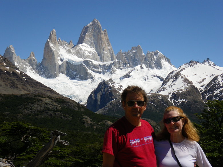
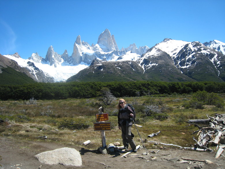
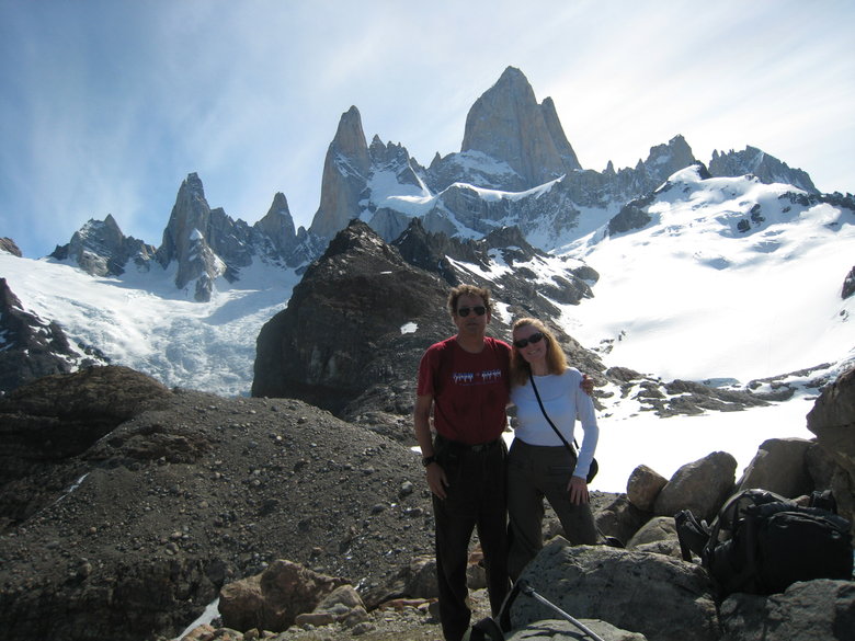
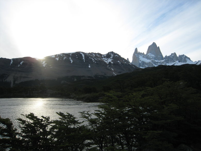
Nov. 20 was a long travel day, rising on the ship for 6:30AM breakfast, morning in Ushuaia, afternoon flight to El Calafate, a quick bite then 3 1/2 hours on a bus to Chalten, arriving 9:30PM, the normal Argentine dinner hour. The town of Chalten did not exist until 1985 and the last section of road from Calafate was paved only a couple of years ago. First view of Fitzroy from the bus shortly after sunset.
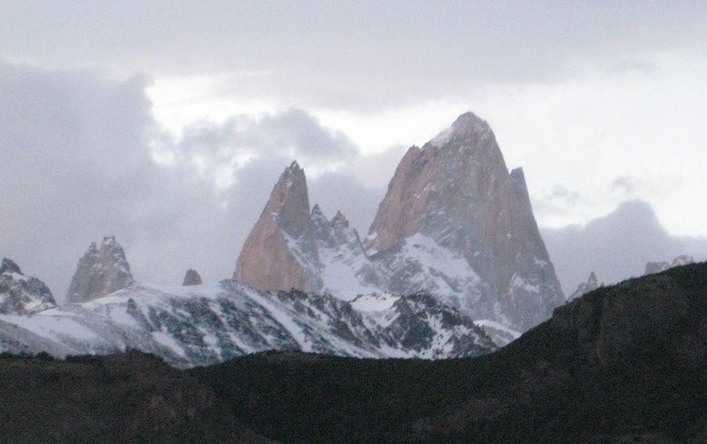
From the town itself the view is blocked by close-in foothills. The next most famous peak in the Chalten area, Cerro
Torre, is in a different mountain group to the west, so not visible on our hike the next day. It's possibly the small peak
just to the left of the 2 big ones (Poincenot and Fitzroy) in the above picture.
At any rate, a few of you may remember the reference to spire measure/ORS/RORS from this thread
viewtopic.php?f=3&t=9111 (unfortunately
the author's website referenced in that thread is down now). Fitzroy measures 1178 on that scale vs. some other impressive
peaks I've seen:
Denali (hazy and distant) 1243
Aconcagua (clear but distant) 975
Mont Blanc 905
Mt. Cook 860
Mt. Rainier (highest ORS in the lower 48) 827
Nov. 21 was the only perfectly clear day of our trip after leaving Buenos Aires. Nonetheless we did not get out the door
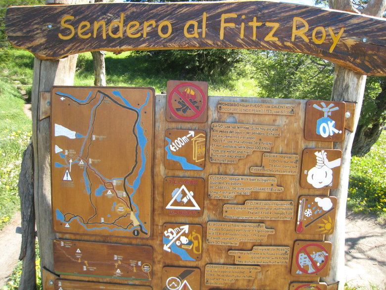
for our hike to Laguna de los Tres (so named in honor of the 3 Frenchmen who first climbed Fitzroy in 1952) until 11AM.
Trailhead:
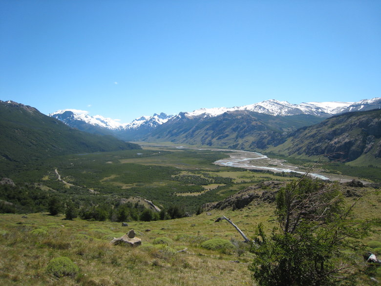
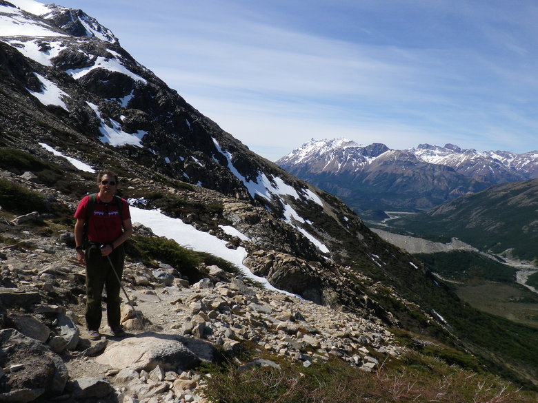
The trail ascends steadily for 2 miles and about 1,000 vertical. Soon we have views of Rio de las Vuellas meandering
through a glacier cut valley to the north.
Fitzroy first comes into view among local rock outcroppings and dense ground cover adapted to the chronic wind that was
unusually light this day.
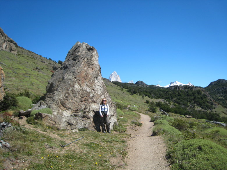
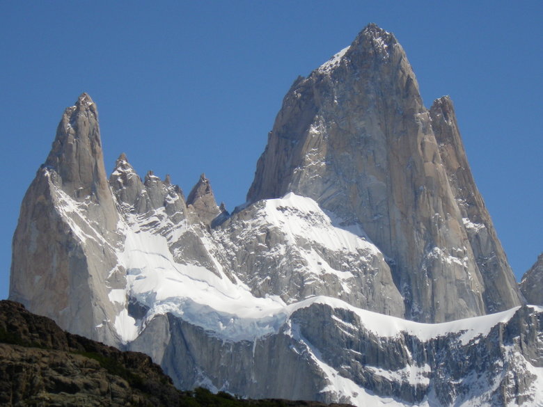
Soon we reach a good viewpoint, took lots of pictures here while Fitzroy was fully illuminated. We knew it would be
backlit by the time we reached Laguna de los Tres.
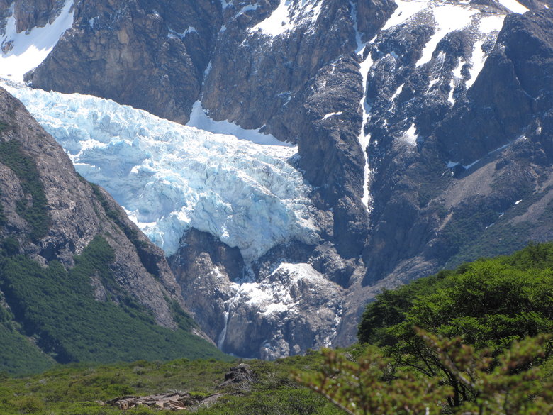
Zoom of glacier feeding waterfall
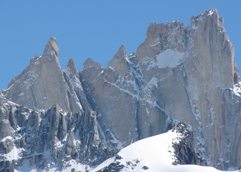
Zoom of Val Biois and Marmoz peaks
The trail is flat for nearly 4 miles of mostly forest until crossing the trails coming up the Rio Blanco valley.
Camp Poincenot is nearby for those wanting closer access to the peaks and glaciers.
The edge of the birch forest is eroded by wind and possibly flash flood.
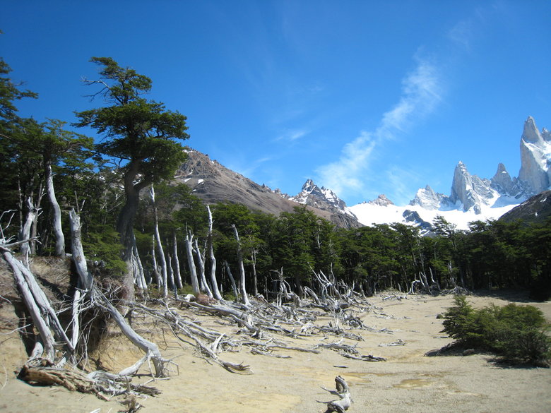
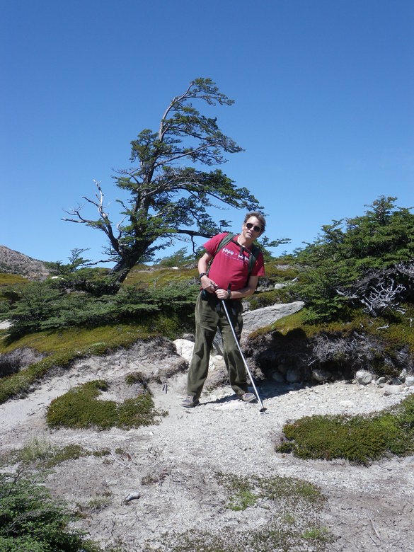
Isolated trees are often bent by the prevailing strong winds.
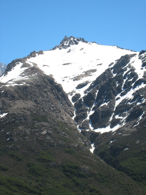
Above us was a potentially interesting snowfield funneling into a skinny couloir, shorter version of Le Rama at La
Grave.
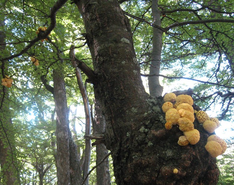
In the forest we saw this unusual fungus.
The long flat section of trail meant the final 1,500 vertical climb to Laguna de los Tres would be tough.
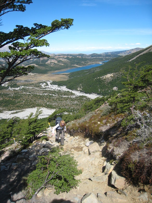
It was not so much the steepness but the irregular rocky surface. We would see more of this in Torres del Paine later.
The final approach
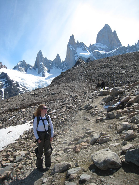
Finally on top about 4:30PM
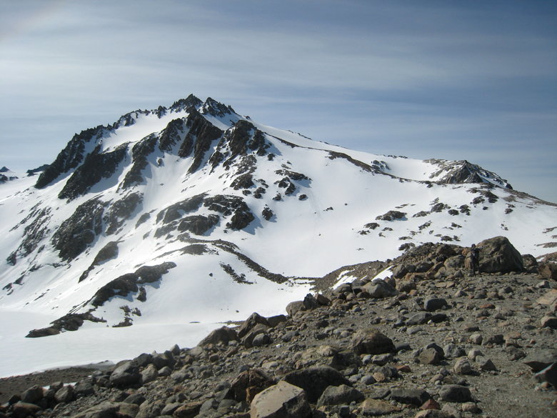
More potential ski terrain on Cerro Madsen south of Laguna de los Tres
Laguna de los Tres and Glaciar de los Tres
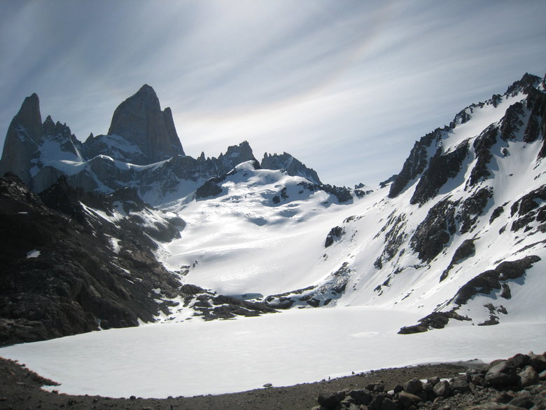
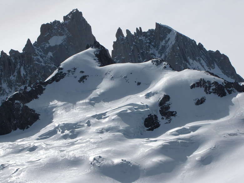
Glaciar Rio Blanco descending SE from Cerro Poincenot and St. Exupery Peak to Laguna Sucia (not visible) has lots of
seracs and crevasses.

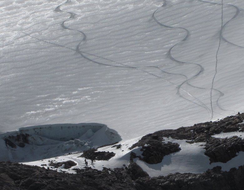
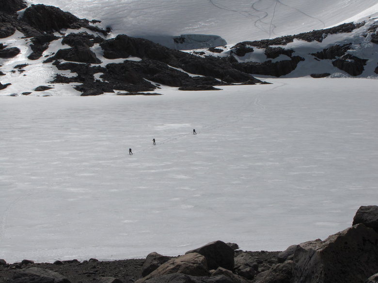
We quickly ate the lunch packed by our hotel, looked up and saw this!
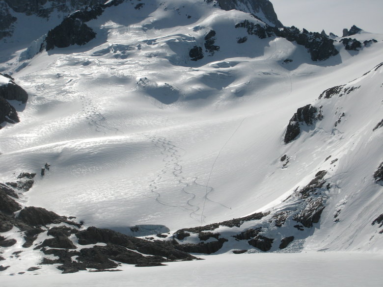
I pulled out my larger zoom camera and spotted the skiers at lower left between the lake and the glacier.
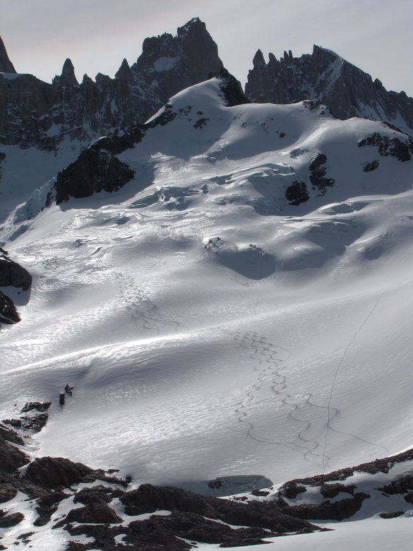
Here's an overview of their ski route from just below Point Velluda to the bottom of Glaciar de los Tres, a bit over
2,000 vertical.
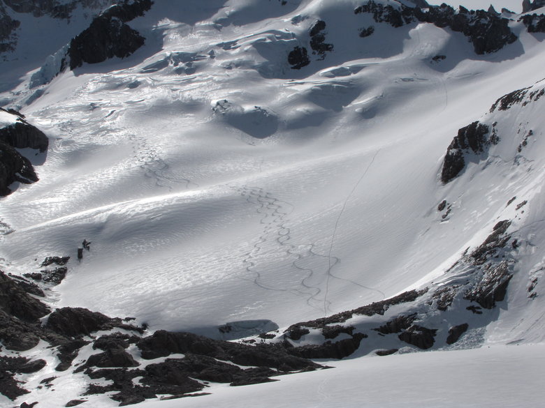
Closer view of upper part
and lower part
Then they skated across the lake.
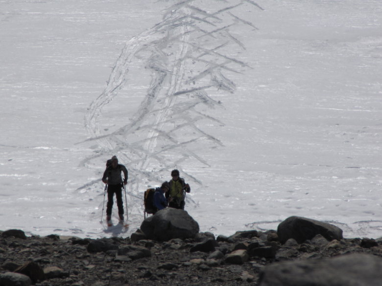
Needless to say we had to climb down to the lake and meet the skiers.
They were from Spain. They had a shorter hike that we did, about 3 hours up the Rio Blanco plus skinning across the lake
and up the glacier. It's after 5PM now and we're glad we got the late start or else we would not have seen them ski.
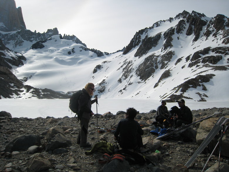
I was quite surprised that no one else to my knowledge on the Ice Axe cruise went to Patagonia afterwards, even though we
did not know any specifics of backcountry ski potential. The Spanish skiers had previously skied an even better spot. Laguna
del Desierto is about 30 miles of dirt road north of Chalten. From its southern tip a steep trail ascends west 1,400 feet in
1.5 miles to the base of Glaciar Huemel. Depending upon one's timing and stamina the Spanish skiers said there is up to
4,000 vertical feet of skiing on Glaciar Huemel.
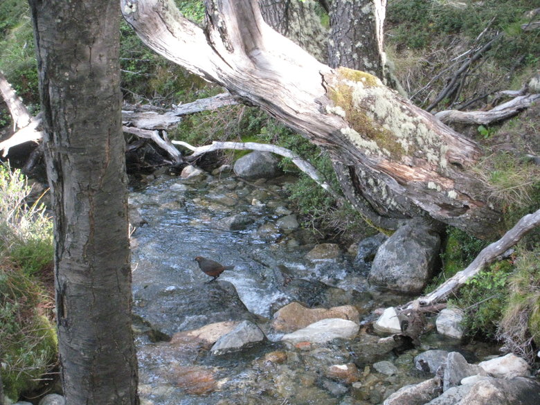
By the time we descended the rockpile my camelback was out of water. This stream was where I first refilled with
delicious Patagonian spring water
We returned to Chelten via Laguna Capri. Sun setting over the lake.
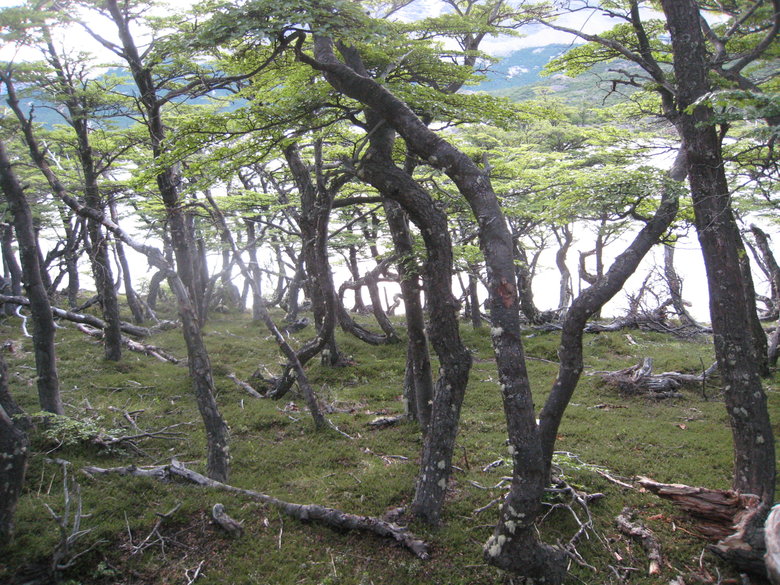
More gnarled birch forest at Laguna Capri
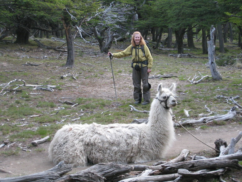
There was a llama at the Laguna Capri campsite.
We got back to Chalten at 9:15PM. Dinner was Patagonian trout, highly recommended.
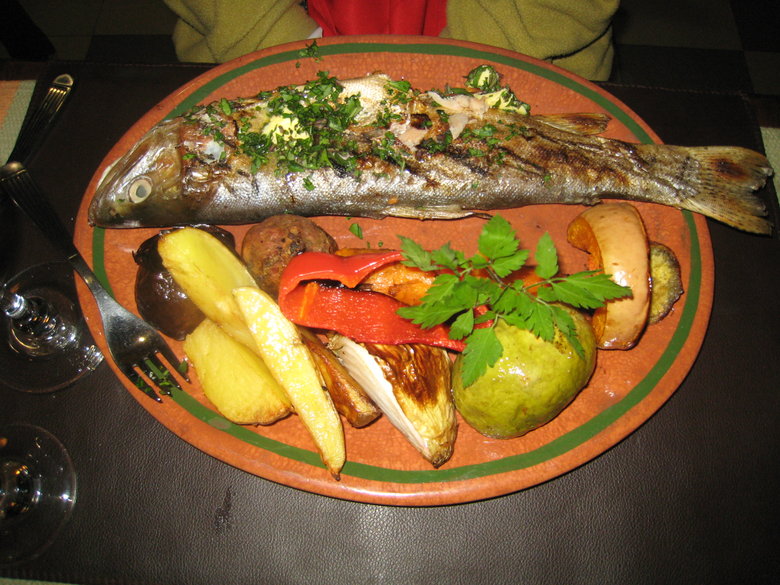
The only trout I've had this good was freshly caught out of Yellowstone Lake in 1995.
The second recommended hike out of Chalten is due west out to Laguna Torre to get a view of Cerro Torre. But we were
inspired by the Spanish skiers and wondered if we could get up to Laguna del Desierto with our ski gear instead. The next day
reality intervened. It was foggy and drizzling and we did not get up that early. I felt fine on the Fitzroy hike but the next
morning I was exhausted, presumably also due to my mishap on the Drake Passage 3 days earlier. It rained all afternoon Nov. 22
and I took a 4 1/2 hour nap while Liz caught up on her e-mail/work backlog.